Where does a very long sea trip end?
Where does a very long sea trip end?
The trip starts in a river mouth, near Damb, Las Bela, Balochistan, Pakistan at latitude 25.415771N and longitude 66.542013E. The trip precedes SSW on a azimuth from north of 211.4419 degrees. The length of the trip is 31967600 meters. The trip ends just offshore where?
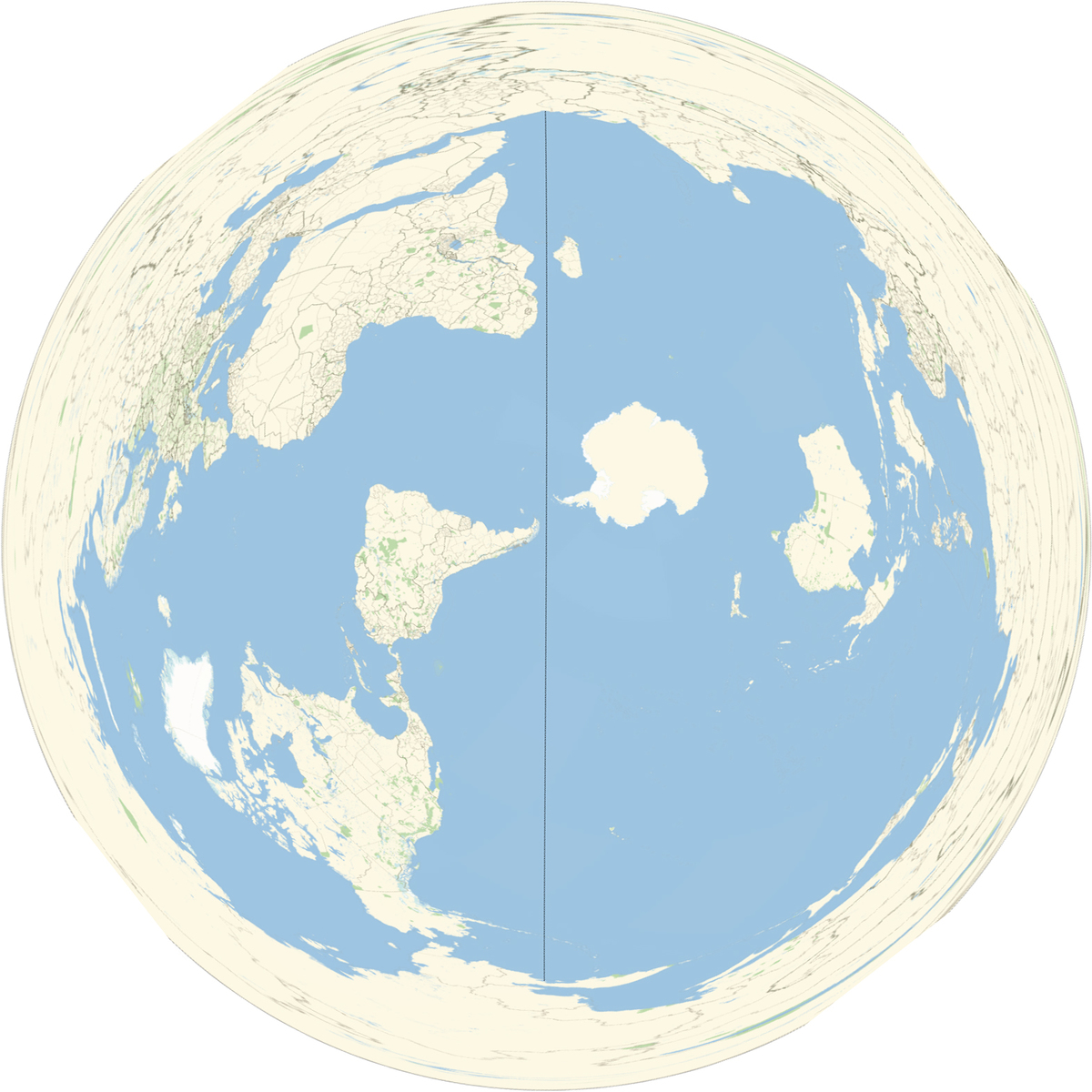
A map is not provided as it would disclose the answer.
The problem was put in geometry as it truly is a matter of measuring the Earth.
The problem's answer was computed using a geodesic method. Please, see the next paragraph.
The difference between where the trip ends depends on whether a geodesic or a great circle is used and is about 1360 meters (less than a US mile). This is insignificant in answering the question.
The entire trip does not touch land and is in a straight line.
This section requires Javascript.
You are seeing this because something didn't load right. We suggest you, (a) try
refreshing the page, (b) enabling javascript if it is disabled on your browser and,
finally, (c)
loading the
non-javascript version of this page
. We're sorry about the hassle.
Using a navigation calculator on the web : 59 58.0876N, 165 10.0794E, which is off the Kamchatka Peninsula, giving the answer. As the problem itself states a spherical trigonometry solution would have been sufficient. The problem also states that the trip is possible by sea surface.
See Spherical trigonometry or the American Practical Navigator.